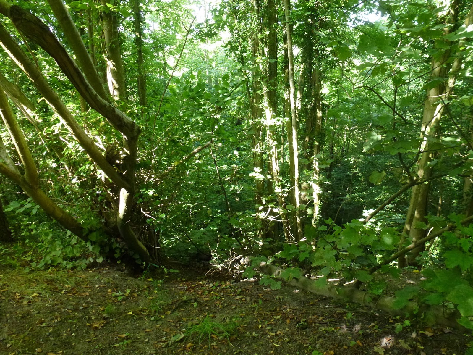
At the end of June we walked from Forest Row to Poundgate with a contingent preferring to walk to Forest Row from East Grinstead along the cycle way which follows a dis-used railway track. As this Saturday was at the beginning of our heatwave, it was pleasant to walk along the shady tree lined cycle route following embankments and cuttings. This link starts in East Grinstead and passes up through the old town centre. Preparations were well advanced for East Grinstead in bloom and Armed Forces Day. Our first 'flora and fauna' involved bedding plants and softly sculpted race horse heads.

Once the breakaway group reached Forest Row we were joined by a significantly larger group who had arrived on the bus from East Grinstead. It was a special occasions for the Vanguards as we had been joined by our rambling 'cousins', Geoff's Jaunters. Together we headed up into Ashdown Forest for fabulous views and lunch at the Hatch Inn. Some people think this is the 'best' section of the Vanguard Way, certainly the conditions and company on this outing did not disappoint!
As ever 'fauna' of the wild variety was not easy to spot but a deer was seen by some. After lunch we ascended to Gill's Lap, a favourite viewpoint on Ashdown forest. There is a new (to me) grazing area below Gill's Lap where some little black sheep are busy clearing the land for us.


From this area of the Ashdown Forest, in good visibility, you can see back to the Oxted Chalk Pit and so the Oxted Downs we have already walked down. Once you've arrived at the Kings Standing Clump area you can see the South Downs - our destination after another 2+ days of walking.
2015 has been an extraordinarily good year for roses so far and the wild roses in the hedgerows are super too.

Ashdown Forest is a Forest in the Norman sense - for hunting - as explained by Tony Robinson in his 'Walking through History' series. Co-incidentally his 'Walking the Tudor Way' programme (channel 4, Wildfire tv) was screened the same weekend. He walked the Vanguard Way from the Hatch Inn to Kings Standing Clump and described the medieval conflict where the profitable iron ore smelting business was trying to expand into the Ashdown Forest which was a Royal hunting area surrounded by a ditch, mound and pallisade fence renewed by Henry 8th at the time. The iron-ore smelting had to be kept 'beyond the pale'. Kings Standing may have been the site of a hunting lodge or a viewing stand of some sort. If you can find this programme again to watch, do! He makes his way onto Blackboys (for beer) which is our next destination.
There are more photos taken on our walk in the associated Picasa Web Album. Captions should explain more items of interest. Click through to Picasa and run the slide show.
 |
| Forest Row to Poundgate |
Lurking at the end of the web album are photos taken this morning in Limpsfield Common Woods a mere few yards from the Vanguard Way. A new community of 'dwellings' has sprung up in the woods behind Ridlands Lane Car park and the nearest on is Peter Rabbit's Post Office across the field to the west of point 2.15 on the Vanguard Way. More Beatrix Potter than A A Milne... Check it out on the map in case you would like a diversion!
http://www.users.greenbee.net/~bellwoodab/download/maps/VGWmap02.pdf
If you'd like to find out more about Tony Robinson's walk here's a link:
http://www.channel4.com/programmes/walking-through-history/articles/the-tudor-way/the-tudor-way-walk-day-3
No comments:
Post a Comment
Please feel free to comment on this post.
If you have information concerning a new 'sighting', please email vanguardwayblog@gmail.com